News
GeoHub platform and Forest Monitoring Services
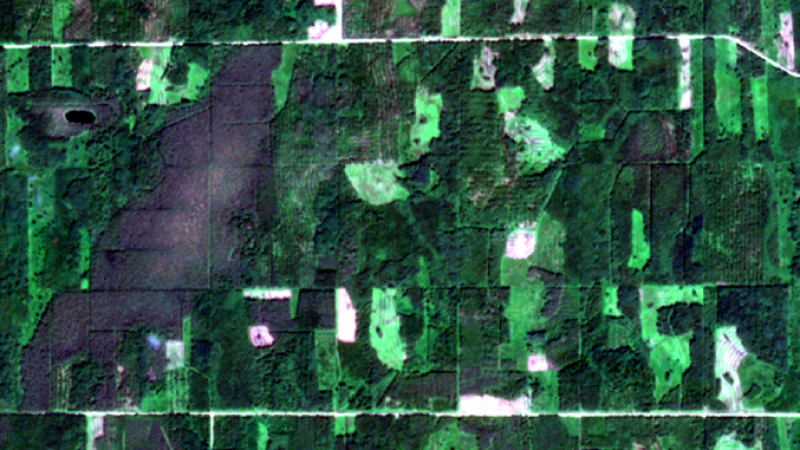
GeoHub Platform - from daily updated satellite data to user-friendly applications. We’re offering free access to the platform, including three advanced forest monitoring services: clear-cut monitoring, forest health monitoring, and thinning suggestion services.
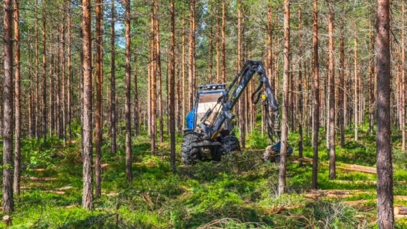
A new service that recommends forested areas for thinning
Baltic Satellite Service, in cooperation with Eeway, has launched the development of a new ML4HealthyForest service using remote sensing data, machine learning, forest growth modeling and automation to help forest owners implement modern technologies, improve objectivity and increase planning cost-effectiveness by easily accessing the most current data on the need for forest thinning.
SPECIAL OFFER - Cloud-Free Mosaic Basemap and Indexes
Start using daily updating satellite images and a wide array of indexes as a low-cost service (19 EUR per user per month) covering the whole country. Subscribe to the service in April, pay for 3 months, get another 3 months free.
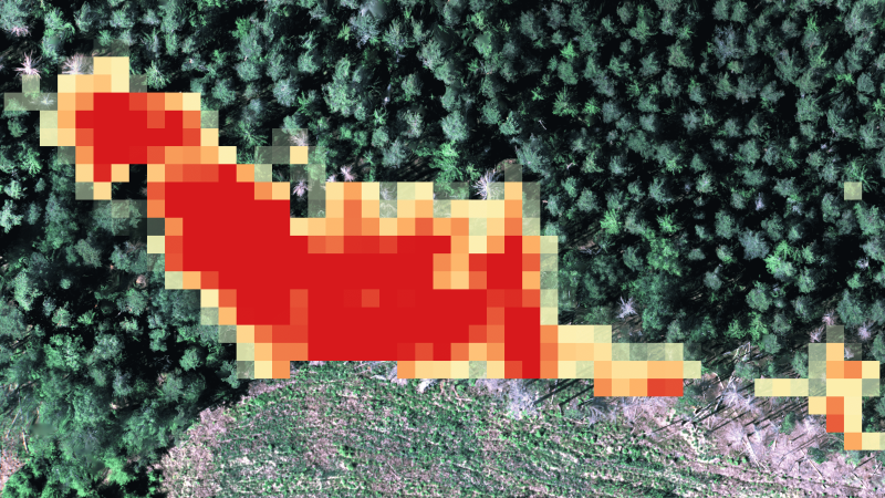
Special Offer - Forest Health Monitoring Service
Assess your forest health risks (bark beetle, excess water, diseases, etc.) in time series of satellite imagery data. Order forest monitoring service for 2023 and get 20% discount for 2024 analysis.
Developing Forest Protection Product with Cross-Border Support
Baltic Satellite Service dives deeper into the computer vision and machine learning (ML) algorithms to automate data processing for accurate and timely bark beetle damage detection in Latvia and Estonia.